Venice Beach · The Man Who Started It All
Walk what used to be here.
From the Abbot Kinney mural to the canals that remain. A free history walk in Venice, Los Angeles: 14 stops, about 5 km (3 mi).
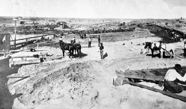 1905
Digging the canals with horse-drawn scoops, 1905
Photo: Luther A. Ingersoll
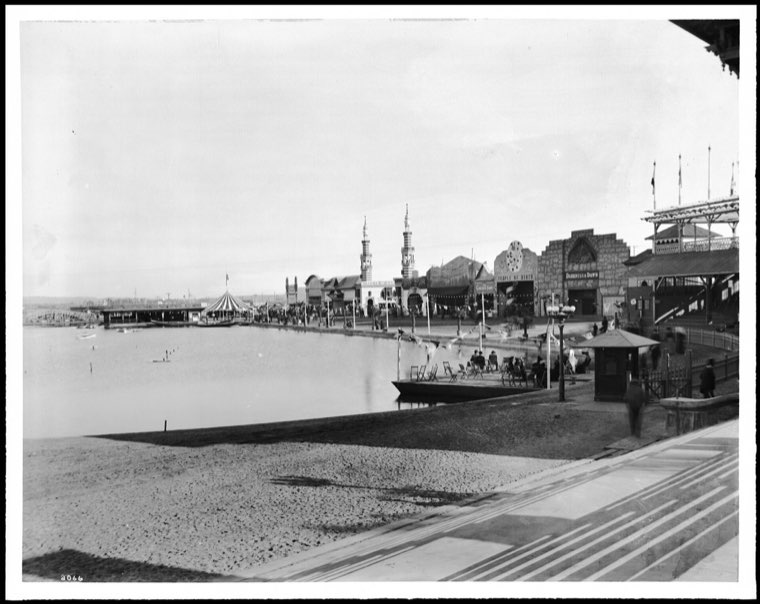 c. 1910
The lagoon, about 1910
Photo: California Historical Society Collection
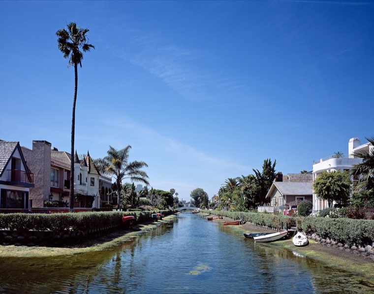 Today
The canals today
Photo: Carol M. Highsmith Archive
Hear the story as you walk.
The Man Who Started It All: a free 23-minute story by Mark Koester of how a salt marsh became Venice of America, and which canals are still here. Listen at home or on the walk.
The stops, in walking order
- 1Abbot Kinney muralRip Cronk's four-storey Abbot Kinney.
- 2Windward Circle: the lost lagoonThis traffic circle was Kinney's lagoon.
- 3The VENICE signA 2007 replica of Kinney's 1905 sign.
- 4Windward Avenue arcadesLook at the capitals: faces on Kinney's Venetian columns.
- 5Murals at the foot of WindwardTwo big walls: Rip Cronk's 'Venice Kinesis' and Jonas Never's 'Touch of Venice', which restages 'Touch of Evil' — filmed on this street in 1958.
- 6Venice BreakwaterA surf spot built for a pier: Kinney's 1905 breakwater shielded his 1,600-ft pier and its galleon-shaped Ship Café.
- 7Grand Canal at Venice Boulevard: where the canals stopThe canals end here.
- 8Carroll CanalLook for the arched footbridge at Grand Canal Court — one of only two arches in the canals.
- 9Eastern Canal & the arched Linnie Court bridgeNobody knows who dug Eastern Canal: it isn't on the 1905 map.
- 10Linnie CanalLook down at the sidewalk: in 1992 surveyors still found the contractor's stamp 'A.
- 11Howland CanalThese southern canals weren't Kinney's — first called the New Amsterdam Canals.
- 12Sherman Canal & the Dell Avenue entranceThe bank you see won a test here: two materials were tried at Sherman and Dell, and the Loffel block held.
- 13Grand CanalSea water feeds the canals through tidegates at Washington Boulevard — they open at low tide.
- 14Venice Fishing PierWalk out about 1,300 ft on the 1960s pier: closed by storm damage, decay and a 2018 fire, and restored each time.
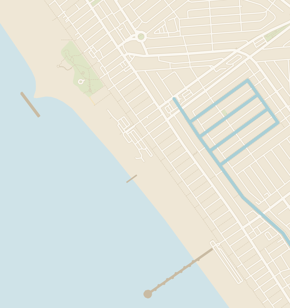
Map data © OpenStreetMap contributors · Stop numbers in walking order.